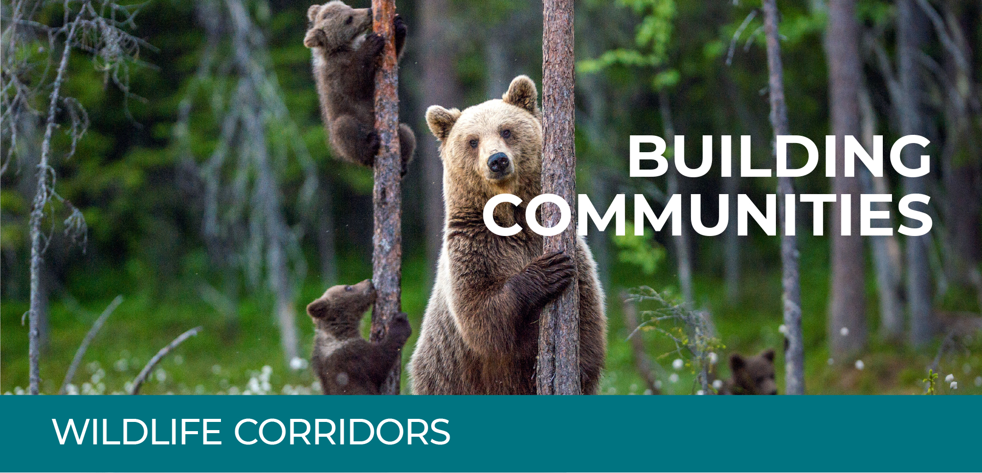
Wildlife movement, conflict with humans, and mitigation efforts are important issues to tackle as we continue to balance growth and conservation in Alberta. Wildlife corridors are a critical component of our development projects and a major focus for Canmore and its residents. TSMV has invested millions of dollars to have experts collecting and analyzing data on where bears, cougars, elk and wolves spend their time and how they select different habitats. We also review the Government of Alberta’s data for consistency and to add to data we collected. In addition, we assess development’s potential impacts to fish, vegetation, and many other aspects of the environment.
There is a huge amount of information available, stretching back to the late 1980’s. There have been teams of scientists working for various academic, government and commercial agencies conducting field work to understand how wildlife use this area. Camera programs run by TSMV were in place from 2009 to 2017 with thousands of images available. The province continues to collect information on wildlife habitat use and movement using cameras and there is snow tracking and telemetry data available.
To date, TSMV has set aside more than 60% of their privately-owned land—1,500 acres—to be dedicated to improving connectivity for elk, deer, cougars, wolves and bears. One acre of land is equal to a small regulation soccer pitch—try to envision 1,500 of those. It’s equivalent to three-quarters of the Canmore Nordic Centre Provincial Park lands.
The Government of Alberta approved TSMV’s amended application for the Smith Creek Wildlife Corridor on February 26, 2020. On March 3, 2020, the Province presented its decision to Canmore Town Council. Smith Creek Wildlife Corridor is the final piece of a system of lands set aside for animals to travel between the Wind Valley and around the south side of Canmore to other prime habitat areas. The decision represents the largest addition to designated corridor lands since the approval of the Along Valley Corridor in 1998. See below for links to more information about TSMV’s application and the Government of Alberta’s decision and announcement:
- Smith Creek Wildlife Corridor Application Amendment
- Smith Creek Wildlife Corridor Application Submission Letter
- Government of Alberta Decision Letter
- TSMV commitment to Government of Alberta Recommendations
- Canmore Town Council Agenda Package (March 3, 2020)
- Government of Alberta Presentation to Town Council

What are wildlife corridors
A wildlife corridor is an area of land designed and managed to maintain connectivity between habitat patches, connecting wildlife populations separated by human activities or infrastructure. The primary function of a wildlife corridor is to facilitate safe movement of wildlife in the Bow Valley.
Wildlife corridors are considered functional if:
- Wildlife populations within the Bow Valley can use those corridors to meet their daily requirements
- They connect habitat patches
- They provide genetic connectivity
- The corridors allow wildlife to use the corridor without being ‘removed’ due to a human-wildlife interaction.
Wildlife Corridors and new developments
The history of the corridor network in the Bow Valley dates back to 1992 when the Natural Resource Conservation Board (NRCB) approved development of Three Sisters land, supporting local and tourist oriented development.
The NRCB approval for development was balanced with conditions designed to protect wildlife. A condition of approval for the NRCB decision states: “Three Sisters shall incorporate into its detailed design, provision for wildlife movement corridors in as undeveloped a state as possible, and prepare a wildlife aversive conditioning plan, both satisfactory to Alberta Forestry, Lands and Wildlife.”
The future development of Smith Creek is adjacent to an area designated as a wildlife corridor. The NRCB (1992 decision) requires the following corridor attributes:
- Corridor designation should occur at a regional scale and there must be linkages between corridors on private and provincial lands
- Primary wildlife corridors should not be narrower than 350 metres, except under unusual circumstances
- Width and location of corridors should be reviewed with all wildlife species expected to use them in mind
- Roads, pathways and utility lines should be bundled to minimize corridor fragmentation
- Corridors should correspond with known movement routes of wildlife
- Wildlife corridors should be legally designated by the Province of Alberta.
How wildlife corridor boundaries are set
Wildlife Corridors fall within the Province of Alberta’s sole jurisdiction (whereas development, generally falls within the jurisdiction of the Town of Canmore within the parameters of the NRCB decision). The Province has the sole authority to evaluate and approve corridors within TSMV lands.
The Smith Creek corridor proposal included input from a community advisory group, the Province of Alberta, Canmore stakeholders, and several experienced biologists and other specialists, while taking into account physical or topological constraints and the requirements of the 1992 NRCB decision.
TSMV worked with stakeholders to develop a wildlife corridor design that balances wildlife needs with other factors, including:
- The needs of the community
- The long-term objectives and servicing requirements of the Town
- The needs of wildlife for movement as per the NRCB decision
- The requirement to have an economically feasible development in TSMV.
The final width, length and position of the corridor was determined in consultation with Alberta Environment and Parks (AEP), biologists, and other specialists prior to approval by the Province.
In addition to the wildlife corridor report, both the Three Sisters Village and Smith Creek have had Environmental Impact Statements (EIS) completed.
The EIS has several recommendations outlining how development can proceed, most of which will be addressed within the planning and development process or are currently addressed within Town of Canmore municipal bylaws or within provincial regulations.
After ASP approval Three Sisters Mountain Village will begin work to detail the Adaptive Management and Monitoring Program. For these programs (Adaptive Management and Monitoring) to be developed, the Land Use Concept for the Plan Area requires confirmation, through the adoption of the land use concept of the Plan Area.
Monitoring refers to the data on wildlife that will be collected as it relates to the project outcomes and the success of the mitigations proposed for this development within the EIS. The identification of metrics, targets and thresholds within the Adaptive Management Plan will allow for the evaluation of the data against expected outcomes. Adaptation is not always necessary, and if monitoring indicates that the predictions of this EIS are met, no adaptation would be required. If monitoring identifies important deviations from the predictions of the EIS (i.e., targets not met or thresholds exceeded), then adaptation would be explored. The adaptation applied would depend on the type and cause of the deviation from EIS predictions and may need to be applied by the Developer, the Town or the Province, depending on the situation. Potential adaptations include:
◆Implementing or increasing habitat improvements within wildlife corridors or habitat patches;
◆ Increasing enforcement;
◆ Opening new trails or consolidating existing trails to create a more desirable route;
◆ Adapting the recreation opportunities offered on Town or Three Sisters Mountain Village owned land;
◆ Closing trails or adjusting when trails can be accessed within wildlife corridors (e.g. closure during winter or at night-time, or other seasonal closures);
◆ Adjusting fence construction design or changing the fence end design on the northwest side of the ASP footprint;
◆ Examining timed or guided entry into the corridors; and
◆ Other solutions as deemed appropriate to address the identified concern.